
Water! Water!
Landmark floods
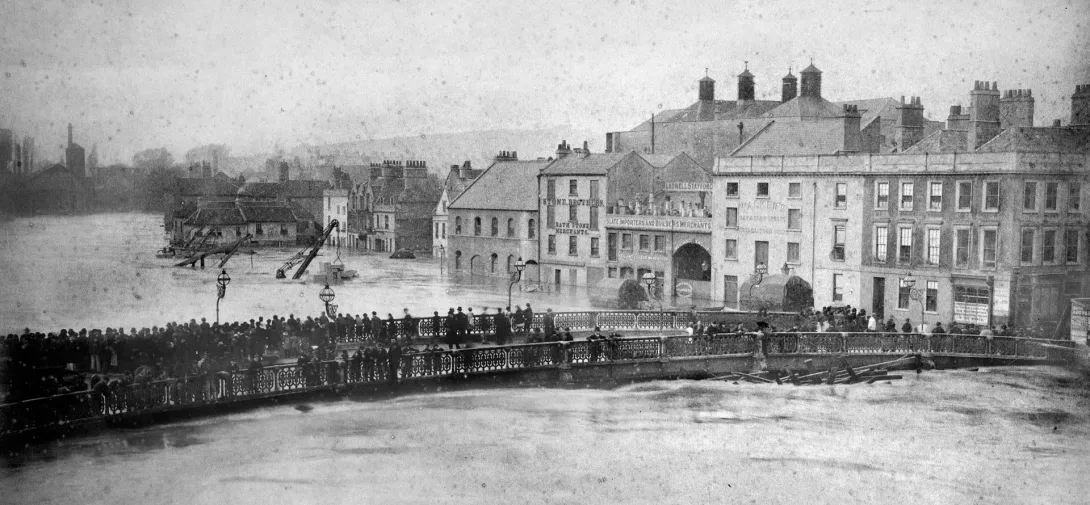
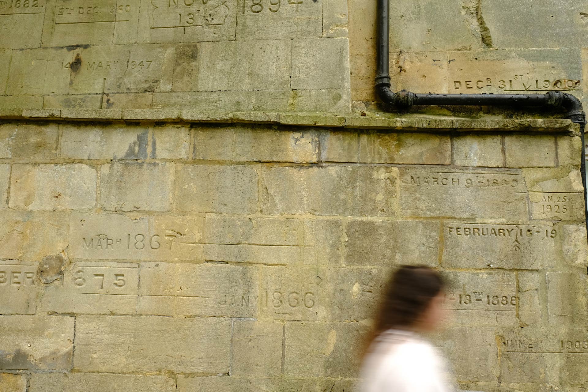
Underneath Halfpenny Bridge, carved flood lines show how high the river rose during Bath’s biggest floods. In the 1970s, river walls were built up to move water quickly and safely through Bath, but these man-made structures leave less room for wildlife. Today, we use nature to help. The park at Bath Quays Waterside acts as an overflow zone, giving floodwater space to spread. This helps water flow more easily — reducing erosion, protecting habitats and keeping water levels safe.
Can you find more flood lines around the city? Tip: there’s one at Norfolk Buildings on the Bath River Line. Explore old flood photos on the Bath in Time website.
Landmark floods
. Use the controls to zoom or view attribution.">
Can you find more flood lines around the city? Tip: there’s one at Norfolk Buildings on the Bath River Line. Explore old flood photos on the Bath in Time website.